Low level cold has fought its way under the intense jet stream ridge as March changes to April. This is the most changeable time of the year if you live in the northeast, and it's rather incredible. The disparity between the warmest and coldest day in March and April around here is close to 40 degrees in many years. This year it was 48 degrees with the coldest day occurring, appropriately on March 1 and warmest 9 days later as part of that intense melt off on March 10th. Unless we can spin up a surprise snow event over the next 10 days, this will probably be my last regular update as mild air will continue to erode the remaining snow.
For Thursday, April 2nd, we are expected to remain under the grips of clouds and some low level early April chill. Most elevations are expected to stay above freezing though there's a window of clearing indicated for early Thursday morning that might allow for a brief freeze if it were to occur. Rain is shown on the New England weather map, with almost all of it falling south and east of us. A small period of light rain isn't out of the question. Light rain is then more likely Thursday night with another push of mild air trying to dislodge the low level cold. It will ultimately do so on Friday and temperatures will warm to near 60 degrees across low lying areas and 50's on the mountain.
This back and forth story is set to continue which is why I put the emphasis on those temperature variations in early spring. Low level cold will fight it's way back to us for the shareholder meeting on April 4th. The high temperature is likely to be set early in the day with temperatures to 40 for most of the ski day. More warmth is then set to make a push at us for Sunday with temperatures starting out near 40 and then rising late with the mild surge. Rain is possible both late on Saturday and Saturday night and then again Sunday afternoon and evening with a more formidable cold front.
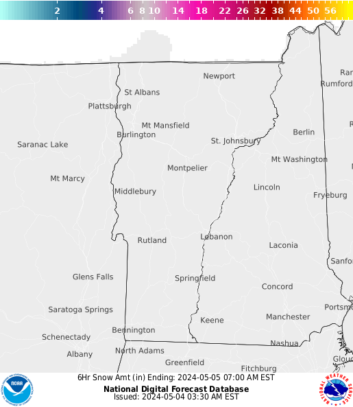
The surge of colder air for April 6-7th is legitimate. Temperatures will get sent back toward the freezing mark on Monday and snow showers are likely which may result in a elevation sensitive accumulation. If this evolves into something more substantial, I will certainly let you know. Tuesday and Wednesday both appear quite chilly with more sunshine each day. Both days are mostly below freezing and perhaps below 20 at night. The cold appears temporary in nature and the weather pattern in the longer range continues to appear at least slightly mild. Teleconnection indices are actually more neutral as we move toward the middle part of the month. It takes a much more supportive setup though in the jet stream for winter to make a more legitimate final act.


